
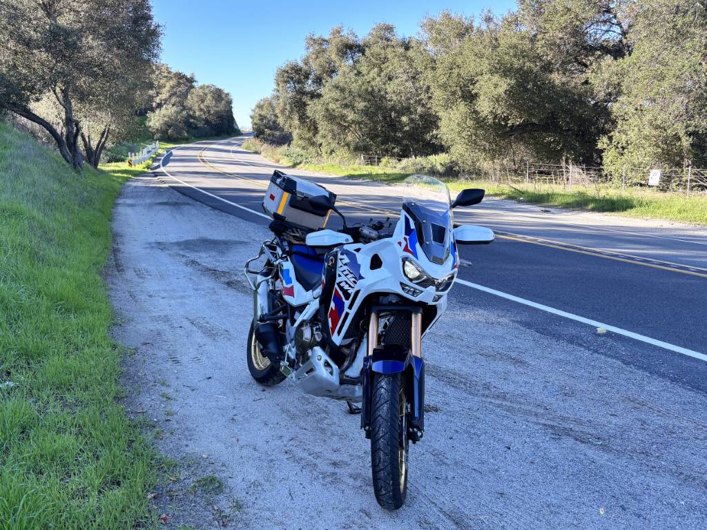
Ortega Highway (State Route 74) is the only road that crosses the 60-mile-long Santa Ana Mountain range that borders Orange and Riverside Counties. Thankfully, due to the ruggedness of the area, the route hasn’t been flattened, straightened and widened into another boring strip of asphalt. Instead, it’s a 33-mile veritable playground for motorcyclists with almost constant turns and an approximately 3,000 ft elevation climb. To have fun, however, you’ll want to avoid weekday rush hours due to it being a major commuting route between the 5 and 15 freeways. The start of the route is drastically different depending upon whether you begin from the west or east. Starting in San Juan Capistrano on the west side, the highway eases you into the route with medium-speed, slightly undulating curves. Coming from Lake Elsinore on the east side you’ll be confronted with an approximately 1,700 feet climb in just four miles with 27 turns. As I live in Orange County, I’ll describe the road coming from the west.
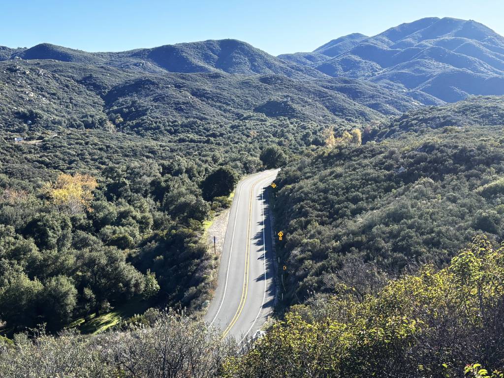
A good place to meet up with riding buddies is the Chevron gas station on Avenida Los Cerritos on the north side of Ortega Hwy, just a few hundred yards east of the 5 Fwy. Head east and ride past residential side roads until you get to the junction with Rancho Viejo Road and try to get ahead of any slower traffic as Ortega Hwy becomes a single lane road almost immediately after the intersection. Hopefully blessed with an open highway, you’ll be greeted with a route of smooth asphalt undulating and weaving through the countryside with views of the Santa Ana Mountains as you ride past The Reserve at Rancho Mission Viejo and Ronald W. Caspers Wilderness Park. There’s a couple of longer straights where overtaking is allowed but be careful of speed traps.
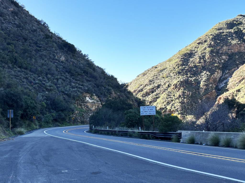
The road drastically changes after a righthand curve at the US Forest Service Fire Station and squeezes through the narrow Serra Bridge. This tight, technical up-hill section clings to the south cliff of San Juan Creek Canyon and is what the knowing call Ricochet Canyon due to the cliff faces and concrete barriers the border the road. It’s a lot of fun but you definitely need to remember the adage, “you go where you look,” as there’s no room for error. After you ride out of the canyon the roads eases up a bit but throws in a couple of 180-degree curves before cresting by the 74 Candy Store on the right and parking lot for hiking trails on the left, so slow down for possible turning vehicles. After a slightly downhill stretch you’ll come to another incredibly fun section with its own colloquial name, The Carousel, an up-hill, left-right S-turn that completes approximately 270-degrees in each direction.
The Carousel spits you out on a short ridge that leads into El Cariso Village, a tiny community of 250 at 2,700 feet. To the right there’s the Hafey Farms Country Store & Beergarden that’s a great stop option for refreshments, or you can ride another two miles to
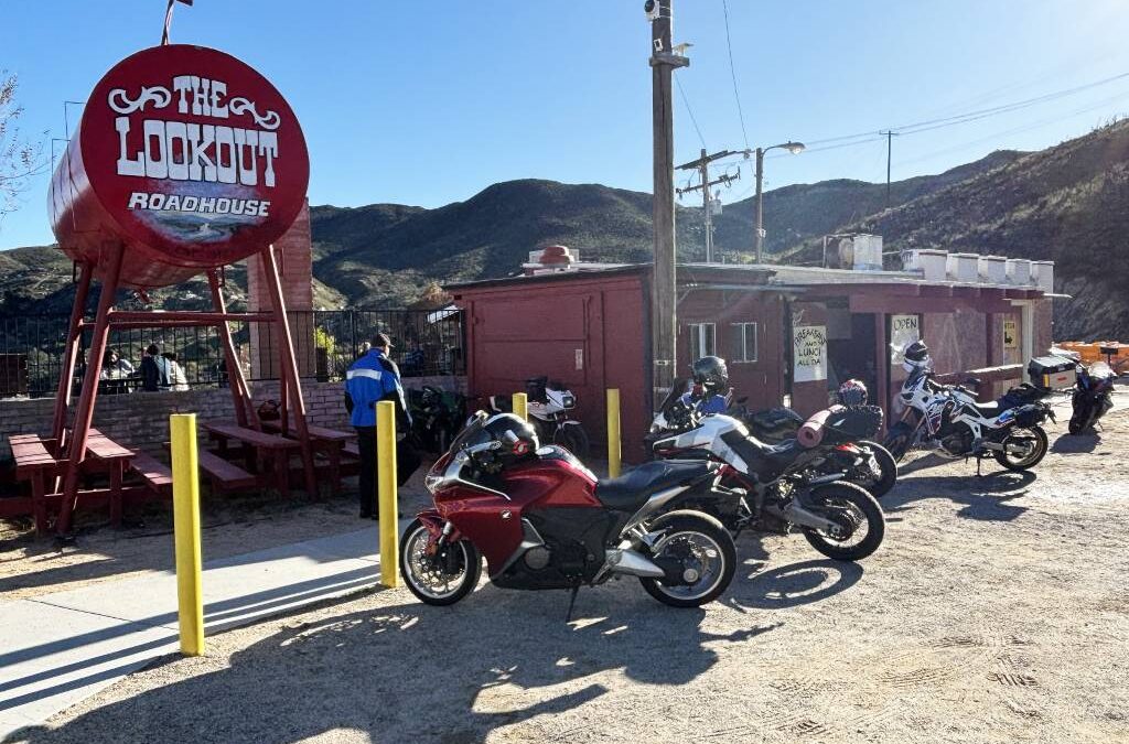
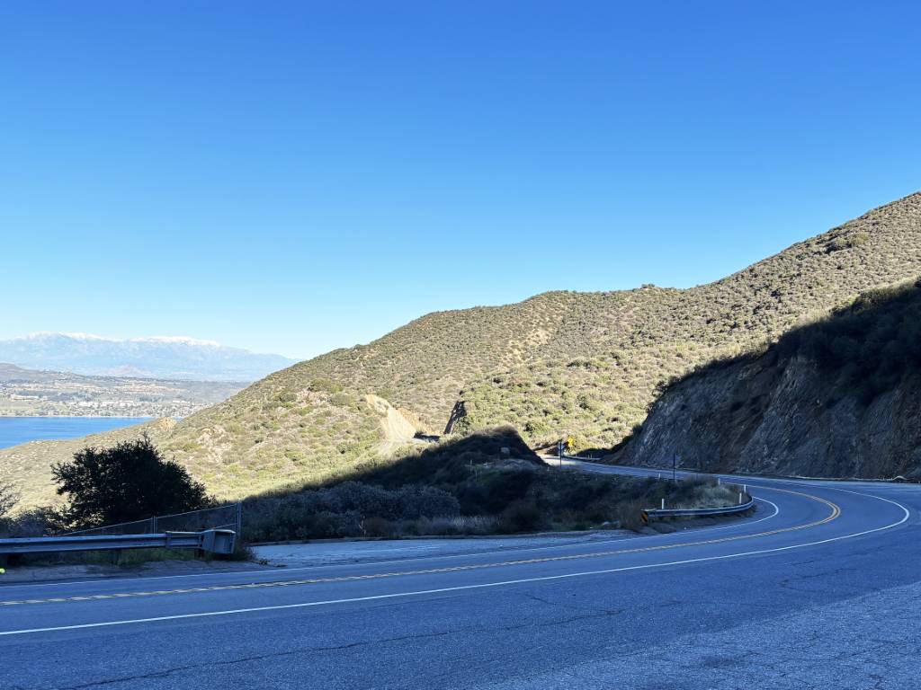
The Lookout Roadhouse for amazing views of Lake Elsinore and peaks of the San Bernardino, Santa Rosa and San Jacinto mountain ranges. The Lookout was founded in 1945 and family owned since 1968 and is a favorite gathering spot for motorcyclists during weekends. Be aware, however, that the parking lot looks like it’s not been resurfaced for decades, as it’s mainly dirt with potholes, and they only have porta potties. Finishing up the route by dropping down to Lake Elsinore you’ll encounter the dramatic series of turns mentioned earlier. From there, the best thing you can do for yourself is turn around and do it all again for your return trip.
See the route Enjoy!